- cross-posted to:
- technology@lemmy.zip
- cross-posted to:
- technology@lemmy.zip
Data is always worth something, eh.
Anyone who has ever touched their software knows how this will go…
Cliff notes?
Make a right turn, cut through Mr Robinson’s back yard.
I’m sorry Mrs Robinson! OOOOOHHHHH!!! I am for real!!! Never meant to make your family cry, I cut through your backyard a million times!


And if you’re having that much trouble with regular software, imagine how it would go with a model, which even capable programmers don’t (always) fully understand…
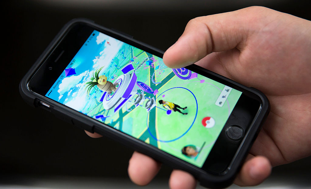
Bothers me that much of this data has been collected without explaining what its intended purpose is. All those captchas that want you to pick out cars or bikes etc, Pokemon game that wants you to scan locations for free items… It simply never occurred to me that these were actually just ways to train AI surreptitiously
Never? They were very clear about the first captchas being used to train OCR, way back in like 2010.
Every day that I play Pokemon Go, I’m aware that I’m making a Faustian bargain for motivation to take a walk in exchange for my privacy.
Guess i was asleep that day 😬
Have fun with my spoofed Geolocations going 30km/h through every Building in Zaragosa
Good luck driving via my gps drifts as i block the phone antennas to get more kilometers. If anything, nianitic is incompetent af, i played ingress for years and i know what they are “capable of”.
For some reason my phone drifts like mad when I place it next to my wifi boxen. I’ve hatched so many eggs as my character just fucking charges around town. Good luck, cars! I obey no road rules!
What do we need this for? Not clear what it does
Seems to be a tool for taking an image and Geo-locating it, even in cases where other sources of data like Googles street map cars are insufficient.
The issue is it’s going to be trained only on places people go. My understanding is that most geolocating systems are more focused on the uncommon or less traveled locations. Maybe I’m wrong, but I guess they’re probably tested it out before announcing it.
Maybe they will start/already have putting pokemon in locations that they need data for to make a more comprehensive map.
You’d be surprised how a pokemon go player will open the app in the middle of the wilderness, even with one questionable reception bar, just to see if there’s a secret rare pokemon that lives there. Bonus if you get a postcard from a pokestop someone submitted, because that trail mile marker is “special.” You can keep it for memories, or send it to a friend you’ve never spoken to, for bragging rights. It’s also not unheard of, for people to crawl through backroads in their car, since the app won’t let catch pokemon or count km’s, if you go more than ±15 mph.
Seems questionably reliable as an independent system. Maybe could help refine more traditional systems? Not sure I understand a use case for this.
It definitely has applications in defense/Intel spaces. Knowing where a photo was taken can be really useful info.
AI delivery bots maybe? It’s basically an aggregate of “here’s where it’s possible/common to walk” so it’s not useful for driving/flying AI. Also useful for marketing, knowing where foot traffic is.
The article says they’re treating it as a Large Geospatial Model (like a Large Language Model), so it seems like you could use that as a predictive way to navigate between two points. With an LLM it spits out phrases based on context. The LGM would return paths based on context.
Here is the original reporting https://www.404media.co/pokemon-go-players-have-unwittingly-trained-ai-to-navigate-the-world/
I fuckin’ knew it
Knew what? That they would use the user data for profit?
Who didn’t?
I knew that Nintendo was behind Pokemon Go, the bastards!
My dad was killed by a charizard!
It’s strange that Niantic is doing this when google has been doing the same thing with its own street map data.
Seems weird to make a competing product when (I thought) they are on good terms.
Google is going to get broken up. To what extent is the question. Companies positioning themselves for the aftermath of the Google break up like this isnt too wierd. Who knows what companies will aquire which Google assets so having your own means to seperate yourself from Google is just playing it safe.
It’s gonna be a bloodbath
reminds me of homeless hotspot project


